The whole system in one list
From north to south, the Dalyan delta is a single chain of connected places:
- Lake Köyceğiz, a large lake surrounded by mountains, with the town of Köyceğiz on its northern shore.
- The Sultaniye hot springs, on the lake’s southwestern shore.
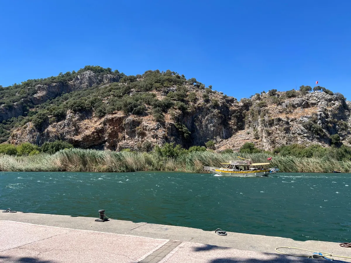
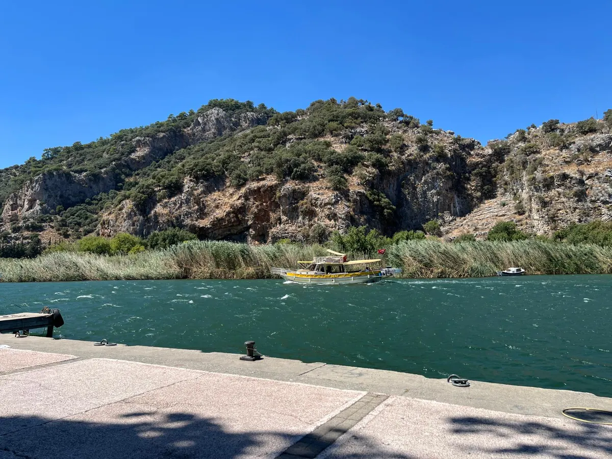
- The Dalyan river, the lake’s only outlet, winding south through reed beds.
- Dalyan town on one bank of the river, and the cliffs and ruins of Kaunos on the other.
- The fishing weirs below the town, where the river narrows towards the sea.
- İztuzu Beach, the sandbar where the river finally reaches the Mediterranean.
Keep that order in your head and every part of the boat trip slots into place.
Lake Köyceğiz: the top of the system
Lake Köyceğiz is the reservoir that feeds everything below it. Streams from the surrounding mountains flow into it, and the lake’s water is largely fresh, becoming more mixed towards its southern end where it connects to the river.
For visitors on a boat trip, the lake is where the landscape suddenly opens up. After the tight reed channels, you are on a wide expanse of water with mountains rising behind it. It is also where the Sultaniye springs and mud baths are found.
If you are staying at the northern end, we explain how to start a boat day from there in Köyceğiz to Dalyan by boat.
The river: one channel to the sea
The Dalyan river is the only way water leaves the lake. It does not run straight; it twists and loops through the delta, splitting into side channels among the reeds before rejoining itself.
Dalyan town grew up on the river’s eastern bank. Directly opposite, on the western side, are the cliffs of Kaunos with their rock tombs. That is why you can sit at a riverside café in town and look straight across the water at monuments more than two thousand years old.
Everything that moves between the lake and the sea passes along this one corridor: water, fish, turtles and boats.
The reed beds: a labyrinth that builds land
The reed beds are the defining feature of the delta, and they are not just scenery. Reeds slow the flow of water, and as it slows it drops the silt it has carried down from the hills. Over time that silt builds up into new land.
The result is a shifting maze of channels, some wide enough for boats, many far too narrow. Boat crews know the navigable routes well, and the first stretch of most trips runs through the most spectacular part of the maze.
The reeds are also a habitat in their own right, sheltering birds, fish and terrapins. We cover what lives there in our guide to wildlife beyond the turtles.
Where fresh water meets salt
Because the river connects a largely freshwater lake with the salt sea, the water in the lower delta is brackish: a mixture of the two. How salty it is at any given point varies with the season, the weather and the flow of the river.
This mixing is what makes the delta so productive. Many fish species move between fresh and salt water at different stages of their lives, and the river is the corridor they use. That is why fishing weirs were built across it, and why loggerhead turtles come upriver to feed.
The weirs themselves explain a great deal about the town, which we cover in the story behind Dalyan’s name.
Kaunos: a harbour that became a ruin
Kaunos was once a harbour city on the coast. Over many centuries, the same silt that builds the reed beds filled in its harbour and pushed the shoreline further out. The city lost its access to the sea, and with it much of its importance.
Today the ruins stand well inland, above the river and the reeds. Looking at them from a boat, it takes a moment to realise that ships once tied up where there is now marsh.
It is one of the clearest demonstrations anywhere of a landscape that is still moving. We explore that idea in slow travel on the Dalyan river, and the tombs themselves in the Kaunos King Tombs guide.
İztuzu: the sandbar at the mouth
Where the river meets the Mediterranean, sediment and sea currents have built a long sandbar: İztuzu Beach. On one side is the open sea; on the other, the calmer water of the river mouth and the delta.
That double character is what makes İztuzu unusual. You can swim in waves on one side and float in still, warmer water a short walk away. It is also why loggerhead turtles nest here: a wide, quiet, sandy beach with easy access to the sea.
The beach is protected, and the reason it is still undeveloped is a story in itself, told in how İztuzu was saved.
Reading the boat route with this map
With the geography in mind, the classic Dalyan boat trip becomes easy to follow. The boat leaves the town quay, heads upriver through the reed channels, crosses into the southern part of the lake to reach Sultaniye, then turns back down the river past Kaunos and the weirs to finish at İztuzu.
In other words, you travel up the system first and then all the way down it to the sea. The order is fixed because it follows the water.
For stop-by-stop detail and timings, see our complete Dalyan boat trip guide, or look at the full-day trip itself.